
Cicero Previous Residents by Era
There is no single roll of previous residents for Cicero. Each source captures a different point in time and a different connection to an address. The strongest approach is to start with a present parcel identity, preserve the original street wording, and work back through recorded instruments and dated historical sources. A deed may show a transfer, while a directory, census return, obituary, or newspaper can add a household or community connection for a particular period.
| Source | Years It Covers | Where Held | What It Shows |
|---|---|---|---|
| Recorded deeds and mortgages | 1794 forward, with varying online access | Onondaga County Clerk | Ownership transfers, legal descriptions, maps, and related instruments |
| County and rural directories | 1868–69, 1878, 1887, 1891–92, 1896, 1899, and 1917–1922 runs | OCPL Local History/Genealogy | Dated household, business, and place associations |
| North Syracuse–Cicero and Cicero volumes | 1957, 1959, and 1993 | OCPL Local History/Genealogy | Later local directory snapshots |
| Census and naturalization materials | Census material 1850–1925; naturalization from 1808 | Onondaga County Clerk Archives | Household context, dates, and legal-history leads |
| Maps, obituaries, cemetery cards, and newspapers | Coverage varies by collection | OCPL, County Clerk Archives, and OHA | Address context, death notices, maps, and family-history clues |
For a recent change of ownership, use the County Clerk trail first. For a mid-century household question, compare the nearby local directory years with county archive material. Older questions usually require a bundle of evidence: deeds or tract maps for the land, census records for a dated household, and library or archive material for names and local context. The Cicero city directory collections provide the fuller shelf-by-shelf view of those printed sources.
Cicero Deeds Across the Digital Gap
The Onondaga County Clerk mortgages and deeds office says its land records reach to 1794. That does not mean every record has the same online index or image route. County planning documents describe digitization targets for paper mortgages from 1794 through 1950 and numerical deed and mortgage indexes from 1799 through 1986, while current completion was not confirmed. Ask whether an older result is available as an index, a scanned image, microfilm, or a courthouse record rather than treating an online miss as a missing instrument.
The Clerk’s owner-name guidance is a useful entry point, but names change spelling and street addresses can change form. Retain the recording date, book and page or document number, instrument type, and legal description at every link in the chain. The legal description is often the durable bridge when an old record uses a tract, lot, or map reference instead of today’s address.
Start with the official Clerk source before examining the image.
The County Clerk’s mortgages and deeds information identifies the office that records the land trail.
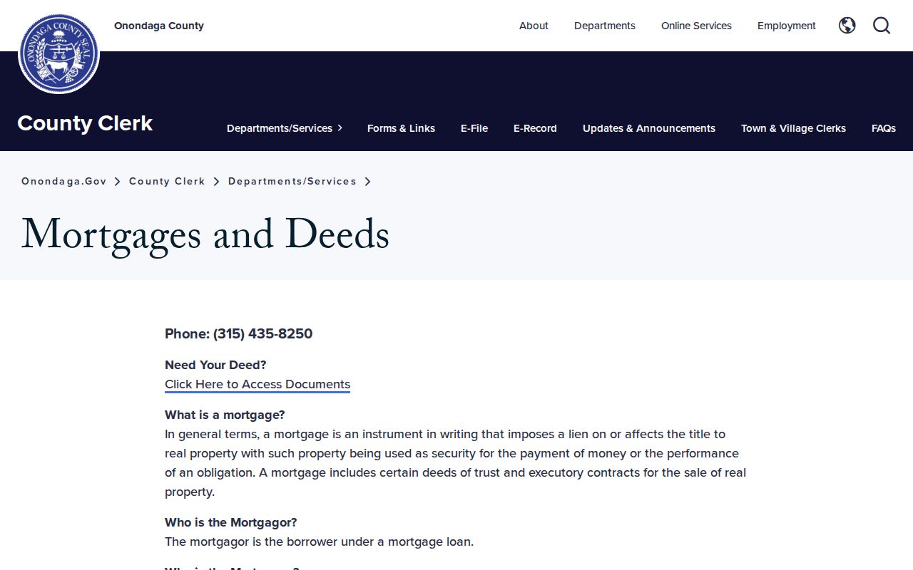
Use the official office route to ask about an older index or copy path when a record has not been digitized in the same way as a newer deed.
Cicero Previous Residents Before 1827
Early address research needs a jurisdiction check. The Town of Cicero history places the area in the Military Tract, surveyed in 1790, and says Cicero included the area now associated with Clay until the 1827 division. A record from before that split should be described with the historical jurisdiction that the source uses. Do not silently translate it into a modern Cicero address.
This local history also makes land descriptions more important. The original tract was divided into large lots, and the 1827 division left Cicero with 50 lots. A historic lot or tract reference can connect deeds, maps, county histories, and archive material even when a modern street number is absent. It creates a research lead, not an automatic identification of a former household.
Note: Older records may use Clay, rural-route, post-office, lot, or map wording that differs from the street address used today.
Trace Cicero Previous Owners by Deed
For a Cicero address, begin with the parcel context supplied through Onondaga County Real Property Tax Services, then use the County Clerk’s recorded land route. Assessment data can help identify a parcel, but the county warns that it is not a legal guarantee of current ownership, value, or unpaid balance. A final roll and recorded instrument answer different questions, so keep their dates separate.
- Record the situs address, parcel or tax-map reference, roll year, and owner name separately. A mailing address is not the same thing as a residence address.
- Locate the newest deed for the owner through the County Clerk route and capture its recording details and legal description.
- Read the prior party named in that deed, then search that person in the earlier purchase role to locate the preceding transfer.
- Repeat backward, checking initials, spelling variants, town labels, map references, and whether the instrument is a deed rather than a mortgage or satisfaction.
- When online coverage or images end, ask the Clerk about the relevant numerical index, microfilm, book, image, or copy procedure.
- Grantor / grantee
- A grantor transfers an interest in an instrument. A grantee receives it. Reading both roles helps connect one deed to an earlier one.
- Chain of title
- The dated sequence of recorded ownership transfers and related instruments for a parcel or legal description.
- Legal description
- The lot, tract, block, map, or boundary wording that identifies land in a recorded instrument. It can be more stable than a street label.
- Criss-cross directory
- A reverse-address directory that is read from a street and number toward a dated name or business association.
A mortgage, easement, right-of-way, release, or satisfaction belongs in the parcel history but is not automatically an ownership transfer. Deeds themselves also do not list everything built on the land. Keep each instrument labeled by its actual purpose.
Cicero Past Residents in County Archives
The Onondaga County Clerk Archives is the fallback when a property trail reaches beyond ordinary online coverage. Its address-research guidance points to directories, tract maps, business certificates, deeds, and area or industry directories. The Archives also reports Syracuse-area directories from 1861 forward, census material from 1850 through 1925, naturalization records from 1808 forward, and 1938 aerial maps.
Those sources work best as a dated sequence. A map can help compare a road or shoreline with a later parcel. A naturalization file can provide a legal-history event and place information. Neither establishes continuous residence by itself. Record the repository, exact date, name variant, and document type so the next source can confirm or narrow the connection.
Pair Cicero Directories With Census Years
OCPL Local History/Genealogy is the practical household layer for previous residents. Its collection includes census resources, newspapers, cemetery cards, obituaries, phone books, maps, selected Sanborn material, the Onondaga Pioneer Index, and local directories. Its exact Cicero leads include North Syracuse–Cicero for 1957 and 1959 and Cicero & Community for 1993. County and rural volumes help bridge other date ranges, but their gaps should remain visible.
- Choose the directory closest to the date in the deed chain and copy the address wording exactly.
- Check the next directory before or after it for a change in household, business, or street listing.
- Pair the date with the closest available federal or New York census schedule, recognizing that census returns are snapshots rather than continuous address histories.
- Use an obituary, cemetery card, newspaper, or probate lead only to refine a date or family connection, then cite the record type.
New York state-census materials identified locally include 1855, 1865, 1875, 1892, 1905, 1915, and 1925. The 1825, 1835, and 1845 state censuses were lost, and federal coverage excludes 1890. A gap is a real limitation, not a reason to infer a household between dates.
Cicero Previous Residents and Place History
County Clerk Archives identifies 1938 aerial maps among its historical holdings. An aerial view can put a parcel, shoreline, road, farm, or structure into period context when read beside a deed’s legal description and a later directory. It cannot name the past residents of a property by itself. Treat it as a way to test whether the place described by separate records is the same place.
Oneida Lake, the Oneida River, rural routes, and the former Clay jurisdiction are useful local search terms in Cicero material. They help distinguish a place reference from a person claim. Record the map edition or archive citation and the date of each supporting document.
Cicero Previous Residents Beyond Ownership
Previous residents are not the same as past owners. A directory or census entry can describe a household association at a date, while a deed identifies a recorded transfer. OCPL’s obituary index covers Syracuse newspapers approximately 1860 through 1996, and its local-history collection holds cemetery cards and newspaper resources. County archives add census, map, and directory routes. Use each source for the limited fact it actually records.
Estate work can supply another endpoint. New York WebSurrogate offers name, file, old-index, index-book, and will searches for participating courts, but online images and categories vary. Onondaga County Surrogate’s Court handles wills and estates. Court records are governed by court and clerk procedures, not FOIL, and a court party or estate record does not establish a Cicero address without independent support.
Lawful use. Cicero previous-resident research is best used for house history, family history, heirs, and local history. Do not use older records to track, stalk, harass, or harm any living person.