
Walking a Cicero Street Directory
Begin with the address as written on the record, including its directional word, route number, unit, and postal city. Then compare it with an official Cicero parcel source before treating two similar street strings as the same place. In Cicero, assessment, GIS, deed, permit, voter, and historical-directory sources form an address chain, but none alone names every person connected to a street. The county describes Cicero assessment data as parcel context, not a guarantee of ownership or occupancy. A dated voter result is a registration match at the searched Cicero address, not proof that every person there is a current occupant.
- Use the original Cicero street address in the county property or tax route to identify the parcel, tax-map number, owner wording, and any separate situs and mailing addresses.
- Open the county GIS gateway for Cicero road, parcel, aerial, and map context. Carry the parcel identifier forward instead of guessing from a similar street name.
- Search the County Clerk instrument route with the Cicero owner name or legal description. Read grantor and grantee roles, the recording date, and map references before drawing a title conclusion.
- For a documented Cicero physical change, request a narrow permit category and date range from Town of Cicero Zoning and Planning through the town's stated delivery routes.
- For an earlier Cicero street association, consult an OCPL reverse or criss-cross directory and pair its publication year with other records from the same period.
Keep a Cicero search log with the source date, roll year, and address form used. That makes it clear whether a result is a parcel match, an ownership record, a postal match, or a historical listing.
Cicero Street Directory Records
Address-keyed sources answer different questions along a Cicero road. The Cicero assessment roll can tie a named owner to a parcel and its mailing or situs address. Cicero GIS supplies road and parcel context. A Cicero deed index records a transaction trail. A Cicero permit file documents an application or project, and a historical reverse directory may associate an address with a name at a particular point in time. Those distinctions prevent a street directory from turning a single record into an unsupported household claim.
| Address record | Custodian | Address connection | Access route |
|---|---|---|---|
| Assessment or tax roll | Onondaga Real Property Tax Services and Cicero assessor | Cicero owner, situs, mailing address, roll year, values, exemptions, and dimensions where shown | Image Mate, Beacon, tax tools, final rolls, or the RPTS office |
| Parcel map | Onondaga County Planning GIS | Cicero parcel geometry, roads, layers, aerial context, and adjacent parcels | Public GIS gateway; exact map controls require interactive review |
| Recorded land instrument | Onondaga County Clerk Mortgages & Deeds | Cicero grantor, grantee, date, legal description, and map or easement clues | County Clerk portal or the Clerk's Syracuse counter |
| Permit or code file | Town of Cicero Zoning and Planning | Cicero address, application type, applicant or owner, project, and status dates where released | Town forms, FOIL, Town Hall, USPS, or drop box |
| Voter or historical directory entry | New York Board of Elections or OCPL | Cicero registration match at a searched address or a dated address-to-name association | Individual state lookup or library collection |
For a Cicero parcel, the parcel number is often the most stable bridge between street wording, a tax record, a map, and a deed. It still needs a date. Cicero owner names may be formatted differently in a final roll and in a recorded instrument.
Onondaga Image Mate opens with public access and a login gateway, and its public guidance says to begin with as little search criteria as possible, then narrow the search.
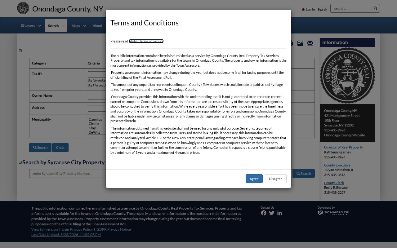
The gateway supports the first Cicero parcel-identification step, but the inspected public landing page did not retain exact parcel-search fields, result columns, export controls, or a Cicero parcel card.
Cicero Street Directory Tax Paths
The separate county tax search has documented modes that are more specific than a general Cicero address box. It asks users to accept an I Agree notice, then distinguishes a tax-map number, owner name as recorded on the deed, the physical property address, and the owner mailing address. Each route has a different purpose. A Cicero mailing address may send a tax bill somewhere other than the parcel, while the physical address is the situs location.
| Tax search option | Use for | Important limit |
|---|---|---|
| Tax-map number | Identifying a known Cicero parcel | It identifies the parcel, not every person tied to it. |
| Owner name as on deed | Finding the Cicero assessment entry under recorded owner wording | Spelling and name format can affect a match. |
| Physical property address | Searching the situs location on a Cicero street | The situs is not necessarily the tax-bill mailing destination. |
| Owner mailing address | Following the address used for Cicero tax correspondence | It can be different from the property location. |
Use the Onondaga tax search for these documented modes and preserve the search date. The research did not retain its exact public input controls, result columns, or download behavior, so no broader field set should be assumed.
Onondaga property-tax information describes the assessor-supplied data and warns that it may not be final until the town's final roll.
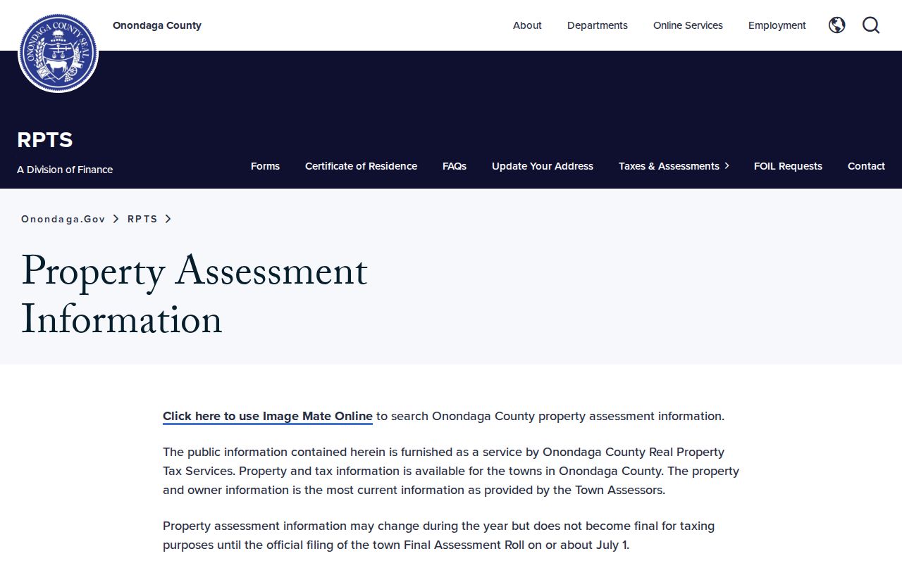
Cicero assessment and tax figures may include county, town, school, village, or prior-year components, and the county does not guarantee that the information is current, complete, or accurate.
Cicero Street GIS and 911 Context
Onondaga County Planning GIS maintains county GIS for Syracuse, Cicero, other towns, and villages and supports digital aerial photography and public web mapping. The public GIS is useful for testing a Cicero road name against parcel geometry, municipal context, and mapped roads before a Clerk or town request. Its exact layer names, identify fields, historical-imagery dates, and export limits were not consistently exposed in the research session. Do not claim a Cicero street-browse, adjacent-parcel, or buffer feature until it is verified in the live interface.
911 Address Administration approves street names and assigns address numbers in most Onondaga towns, while also compiling permit data.
For a Cicero address, that office is the proper context for a changed number, a road-name question, a new structure number, or a difference between a postal address and a legal description. It is not a name directory.
Cicero Street Deed History
The Onondaga County Clerk Mortgages and Deeds route is the ownership-history source for a Cicero street address. County records reach back to 1794, giving an unusually deep trail when the legal description and owner name can be followed backward. Online coverage and image availability vary by record and digitization status, so an online index hit is not the same as a viewable image or a certified copy.
Read the Cicero instrument type before using it in an address history. A deed transfers ownership. A mortgage, satisfaction, easement, right-of-way, release, or subdivision map can matter to a Cicero parcel, but it is not automatically an ownership transfer. A deed also does not inventory everything physically on the land. Start with the current owner or parcel number, then compare the legal description, map references, recording date, book or document reference, and cross-references as the chain moves backward.
The Clerk's office is at 401 Montgomery Street, Room 200, Syracuse, with the research file listing weekday counter hours and a phone route. That counter is a documented fallback for Cicero work when online coverage is incomplete. Note: Older 1794 records are handwritten and can be difficult to read, so Cicero name variants and legal descriptions matter.
Cicero Street Permit Files
Town permit records add a physical-change layer to a Cicero street search. The town identifies permit categories for construction, additions, structural changes, pools, sheds, signs, fences, demolition, fireplaces or woodstoves, and fill or grading. A request should identify the Cicero address, application or permit category, and a narrow date range. That asks for an existing file rather than a newly created compilation.
Cicero Zoning and Planning is the official starting point for permit triggers and the office contact route.
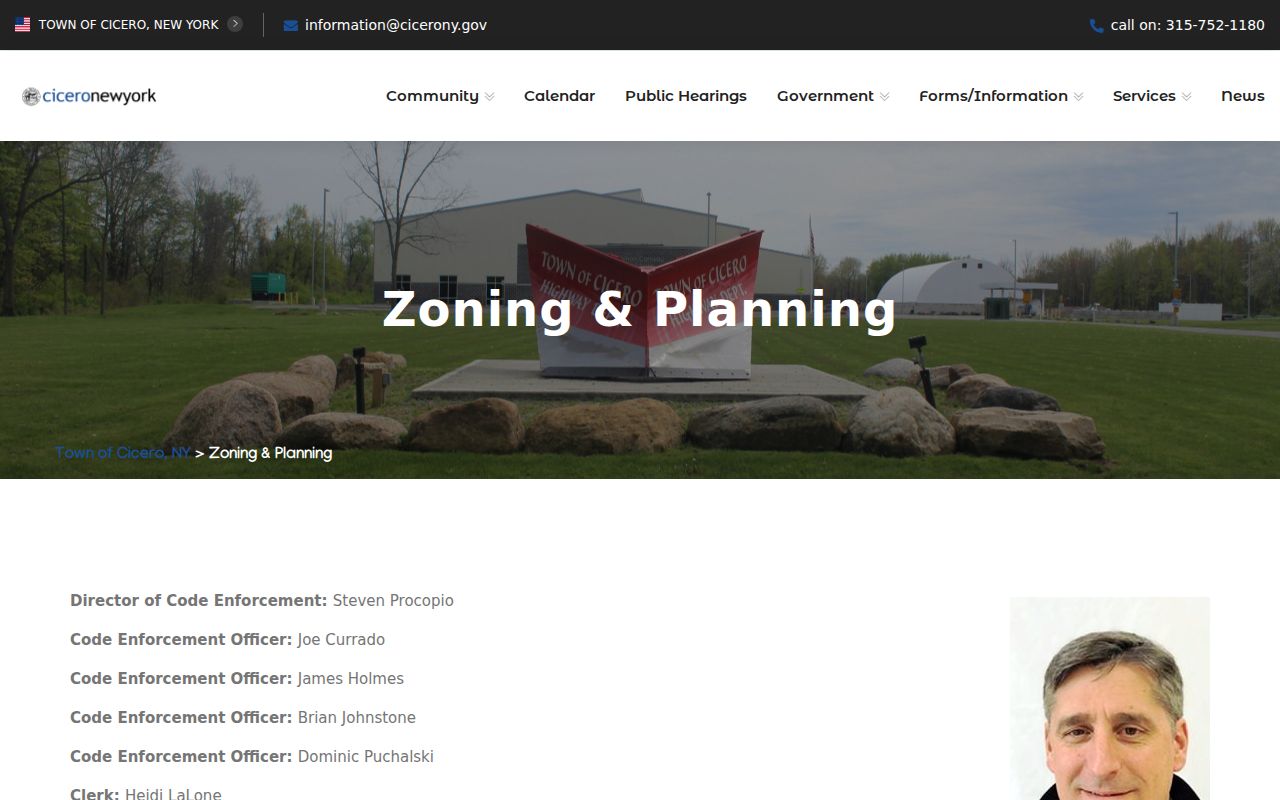
The town says Cicero permit applications are delivered in person, by USPS, or through a drop box, not by email. A permit record can document a project or applicant status; it does not establish who lived at the address.
For a Town of Cicero administrative record, the forms page identifies the FOIL route. Mail or deliver the completed request to the Records Access Officer at Town Hall, and state the record type, street address or tax-map number, and date range. The page did not provide a complete town FOIL response schedule, copying-fee schedule, or appeal contact.
Cicero Street Postal Labels
Postal city and town are separate parts of a Cicero street search. “Cicero” can refer to the Town of Cicero, a postal-city label, a road or business name, or a historical reference. Nearby labels such as Brewerton, Clay, North Syracuse, and Syracuse may appear in a record without proving a municipal boundary. Preserve the address string as found, then test the town, postal city, parcel, and date separately.
The county's generalized ZIP map places 13039 in central and southern Cicero. It also shows nearby 13029 in Brewerton and 13041 in Clay context. Those labels are useful search variants, especially near Oneida Lake and town edges, but neither nearby ZIP should be treated as wholly inside Cicero. USPS ZIP Code Lookup standardizes an address; it does not confirm a person or company at that address.
For a ZIP-focused workflow, the Cicero ZIP code directory separates postal routing from town boundaries. Note: Mark each result as a postal match, mapped parcel match, or official municipal match rather than collapsing those categories.
Cicero Street History Clues
Cicero's street and land history can explain why an older record does not fit a current address line. The town was surveyed within the Military Tract in 1790, was erected in 1807, and was separated from Clay in 1827. Earlier deeds, maps, directories, or census references may therefore use a tract, lot, rural route, post office, hamlet, or the historical Clay jurisdiction instead of a modern Cicero postal line.
County Clerk Archives recommends directories, tract maps, business certificates, deeds, and industry or area directories for Cicero address research. OCPL holds county and rural directories, including North Syracuse-Cicero volumes for 1957 and 1959 and Cicero & Community for 1993. Those are dated Cicero snapshots. The historical collection method belongs on the Cicero city directory page, where the collection years and reading conventions are kept together.
Cicero Street Record Terms
Cicero address research uses several terms that look alike but describe different things. Keeping them separate helps prevent a Cicero property record from being read as a resident list.
- Parcel
- A mapped unit of land used in tax and assessment work. Its tax-map number can connect maps, rolls, and recorded land documents.
- Situs address
- The physical location of the property. It can differ from the mailing address used for a tax bill.
- Plat
- A recorded map or plan that can show lots, blocks, roads, or subdivision references used in a legal description.
- Criss-cross directory
- A reverse directory arranged by street and address, used to find a historical name or business association at a location.
A known Cicero street number can lead to a parcel and a deed. It cannot, by itself, identify a whole household or establish continuous residence.
Limits of a Cicero Street Directory
A Cicero street directory does not show every person connected to an address. Assessment records are not title or occupancy proof. Deed indexes do not list all household members. Historical directories are snapshots, and voter lookup results are limited to the registration record found at the searched address and date. Protected registrations are not ordinary public entries. The New York Address Confidentiality Program provides a substitute Albany mailing address for eligible participants, and actual addresses are confidential under the program's stated rules.
When a Cicero source does not match, record the discrepancy instead of forcing a match. A Cicero assessment owner, tax-mail recipient, deed party, permit applicant, voter registrant, and historical directory entry can each have a different relationship to the same Cicero address.